Google Maps
App preview

Images supplied with this app listing.
App introduction
Find places and plan driving, walking, cycling, or public transport routes with Google Maps for Android.
App overview
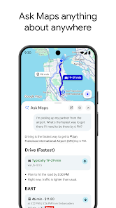
Google Maps combines place discovery with navigation for everyday trips and unfamiliar destinations. Search for a business or address, compare available routes, and view useful place information such as opening hours, photos, and reviews before deciding where to go.
Main features
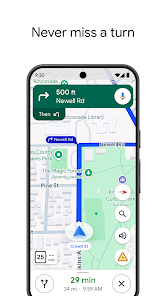
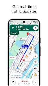
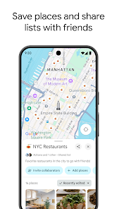
Route planning supports driving, walking, cycling, and public transport where local data is available. Live traffic, incident information, and automatic rerouting can help adapt a journey while it is in progress. Saved places, lists, map layers, and selected offline maps provide tools for planning beyond a single trip.
How to use it
Enter a destination, confirm the starting point, and compare the time and conditions shown for each travel mode. Check the route overview before starting turn-by-turn guidance, especially where tolls, ferries, or restricted roads may matter. Save frequently used places to make later searches faster.
Before you download
Navigation conditions can change, so follow local signs and use judgment rather than relying on the app alone. Location access, background activity, and live navigation can affect battery use. Transit coverage, indoor maps, Street View, and offline features vary by country and location.